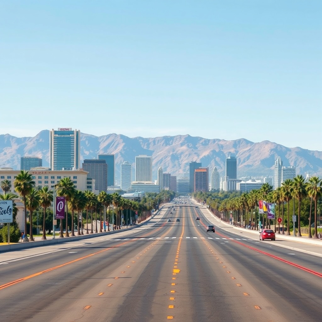
Los Angeles without a car is more feasible than many expect. While the city’s sprawl and freeway culture are well known, steady investment in transit, bike infrastructure, and walkable neighborhoods makes exploring LA by foot, rail, bike, and scooter a practical—and often more enjoyable—choice.
Here’s how to navigate the city efficiently and where to base yourself for a car-free stay.
Why choose car-free
– Save on parking and traffic stress. Parking downtown and at popular beaches can add time and cost to every outing.
– Experience neighborhoods more deeply. Walking or biking reveals local shops, cafes, street art, and community life that you’d miss from a car.
– Flexible and sustainable. Combining transit, micromobility, and short rideshares gives you flexibility while reducing your carbon footprint.
Getting around: main options
– Rail and buses: LA’s transit network links major hubs, cultural districts, and the coast. Rail lines provide reliable cross-city trips that avoid rush-hour congestion; buses and local shuttles fill in for first- and last-mile access.
– Tap-and-go fares: Most transit systems use contactless cards or mobile payment options—load a transit card or use an app to simplify transfers and routes.
– Micromobility: Bike-share and e-scooters are available across many neighborhoods for short trips.
These are ideal for bridging the gap between a rail stop and your final destination.
– Rideshares and local shuttles: Use short rideshare trips sparingly for late-night returns or places with limited transit coverage. Neighborhood shuttles and on-demand microtransit services also operate in several areas.
Best neighborhoods for car-free travel
– Downtown (including the arts and financial districts): Dense, walkable, and transit-rich, downtown is ideal for culture, dining, and nightlife. Major rail connections and local buses make it a hub for car-free travelers.
– Santa Monica and Venice: These beachfront neighborhoods are highly walkable with strong transit links to the city. The promenade, pier, and canals are best enjoyed on foot or by bike.
– Koreatown and Hollywood: Packed with restaurants, nightlife, and shops within walking distance, these neighborhoods are also well served by rail and frequent bus routes.
– West Hollywood and Melrose/La Cienega corridor: Compact, pedestrian-friendly areas with great dining, boutique shopping, and nightlife concentrated within a short radius.
– The Arts District and near major museums: Cultural destinations clustered in walkable sections of the city are perfect for strolling between galleries and eateries.
Practical tips
– Plan with apps: Use reliable transit apps for real-time arrivals, service alerts, and multimodal directions. Download maps for offline use if you expect spotty service.
– Time your trips: Allow extra time for transfers and peak periods.
Trains are typically faster for long distances; buses give more local flexibility.
– Pack light and weather-ready: Comfortable walking shoes, sun protection, and a light layer for evening temperatures go a long way.
– Know bike and scooter rules: Follow traffic laws, use bike lanes where available, lock bikes securely, and check parking zones for scooters.
– Safety and accessibility: Choose well-lit routes at night, stay aware of surroundings, and check accessibility features if you need them—many stations and vehicles are equipped for mobility devices.
With a bit of planning and a willingness to mix modes, Los Angeles becomes a mosaic of easily explored neighborhoods rather than an endless freeway. Enjoy the freedom of discovering hidden cafes, neighborhoods, and coastal vistas one neighborhood at a time.