Los Angeles is famously spread out, but today getting around without a car is more realistic than ever. Transit improvements, expanded bike lanes, and a dense network of scooters and e-bikes make it easier to stitch together a day of sightseeing, food, and culture across disparate neighborhoods. Here’s a practical guide to navigating the city like a local.
Plan smart: apps and passes
Start by downloading a few essential apps: the regional transit app, a multi-agency trip planner (Google Maps or Transit), a scooter/e-bike provider, and a parking app for when you do need to drive. Load a reloadable transit card or mobile fare to avoid delays boarding buses and trains. Real-time arrival information and route alerts make transfers smoother; try to build flexibility into your day for short walk segments.
Mix transit and micro-mobility
Longer hops are often fastest on Metro Rail or bus rapid transit, while e-bikes and scooters are perfect for first- and last-mile trips. Many neighborhoods now feature protected bike lanes and bike-share stations near transit stops, so you can ride from a rail station to a beachfront path or scenic overlook. Helmets are recommended, and some scooter services enforce speed limits in high-traffic areas—ride responsibly.
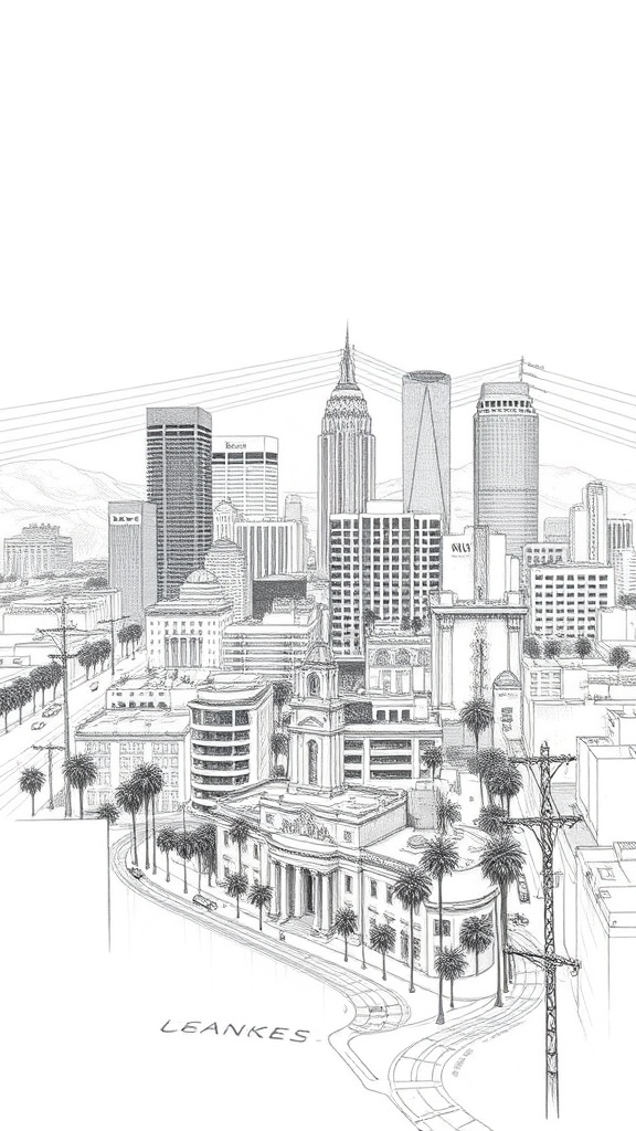
Neighborhood loop ideas
– Downtown and the Arts District: Start with rail to the civic center, then stroll or scooter through the Arts District’s murals, galleries, and coffee-roastery scene.
The pedestrian-friendly stretches are compact and easy to cover without a car.
– Hollywood to Griffith Park: Use rail to reach Hollywood, then transfer to a local bus or rideshare for the Griffith Observatory trailheads. Hiking and sweeping city views reward gentle effort.
– Santa Monica and Venice: Take rail or bus to Santa Monica and rent a bike to cruise the beachfront path to Venice. The route is flat, scenic, and lined with food stops—perfect for a relaxed day outdoors.
– Culver City and Westside art corridors: Short transit hops connect modern galleries, historic studios, and innovative restaurants.
These neighborhoods are increasingly walkable and often less congested than tourist centers.
Timing and safety
Travel during off-peak hours to avoid crowds and secure seating on trains. Keep belongings close and be mindful in crowded transit areas. Many stations have security presence and help points; use them if you need assistance. For night travel, prefer well-lit stops and higher-traffic routes, or pair transit with a short rideshare for the final leg.
Parking and driving tips
If you must drive, reserve parking ahead with apps to save time and avoid circling for spaces. Look for mixed parking strategies—park near a rail hub and complete the trip by train to avoid congested central areas.
Watch for neighborhood parking rules and permit zones.
Sustainable travel choices
Choosing transit, walking, or a bike reduces emissions and often delivers a more intimate experience of the city—discovering neighborhood bakeries, small galleries, and pocket parks that cars make easy to miss. Many transit stations now integrate green infrastructure and art, turning the journey itself into part of the visit.
Make it your own
Los Angeles rewards curiosity. Layer transit, scooters, bikes, and short rideshares to connect the places you care about—whether that’s beaches, museums, hikes, or food scenes.
With a little planning and the right apps, the city’s variety is more accessible than many expect.